Commercial Drone Services: High-resolution Aerial Mapping, Aerial Photography/Video, GIS analytics, 3D models.
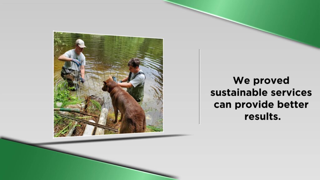
We are a company of innovative geospatial analysts with a passion for the environment and cutting-edge technologies. We use the latest drones, software, and sensors to deliver high-quality information to our clients. We believe that accurate data and remote sensing technologies provide an opportunity for evidence-based decision-making.
We provide professional drone services for clients in the public and private sectors. We offer high-resolution aerial data collection and AI-powered geospatial analytics to deliver mapping products and customized solutions for our partners. We serve our clients in agriculture, forestry, mining, tourism, and environmental monitoring agencies.
-
Commercial Drone Services: High-resolution Aerial Mapping, Aerial Photography/Video, GIS analytics, 3D models.
-

- 302-1199 Cedar Ave, Trail, British Columbia V1R 4B8
- Trail
- Yes
- 2507931010
- info@abovesensing.ca
- https://www.instagram.com/abovesensing/
- https://www.facebook.com/abovesensing
- https://www.abovesensing.ca/
- ChIJIcBCG7THimIRm6rhhL_tKWM
- Yes
- No
- No
- No
- Debit | Cash
- No
- 3